Home > Europe > United Kingdom > Wales > Flintshire > Hawarden
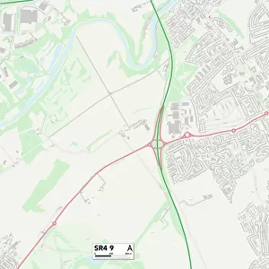
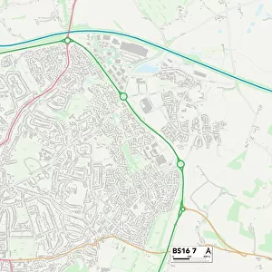
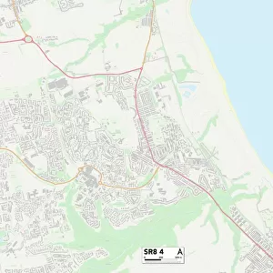
Sunderland SR4 7 Map

![]()
Wall Art and Photo Gifts from Map Marketing
Sunderland SR4 7 Map
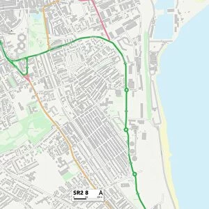
Postcode Sector Map of Sunderland SR4 7
Media ID 19981456
Abingdon Street Barnard Street Belmont Road Brookland Road Burnaby Street Chatsworth Crescent Chatsworth Street Chester Road Chester Street Cleveland Road Clifford Street Duke Street Dunbar Street Earl Street Eldon Street Hawthorn Street Henderson Road Houghton Street Hurstwood Road Hutton Street Jackson Street Kitchener Street Langton Close Leamington Street Lumley Street Mill Street Mount Grove Mount Road Ogden Street Priory Grove Queens Crescent Raby Street St Marks Crescent St Marks Road St Marks Street Stewart Street Sunderland Vale Street Wycliffe Road
FEATURES IN THESE COLLECTIONS
> Arts
> Artists
> H
> Richard Halls
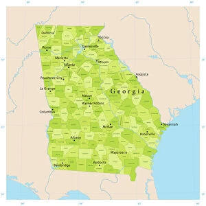
> Asia
> Georgia
> Related Images
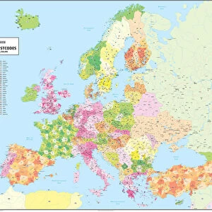
> Europe
> United Kingdom
> England
> Cleveland
> Europe
> United Kingdom
> Scotland
> East Lothian
> Dunbar
> Europe
> United Kingdom
> Scotland
> Lothian
> Dunbar
> Europe
> United Kingdom
> Wales
> Flintshire
> Hawarden
> Europe
> United Kingdom
> Wales
> Monmouthshire
> Chepstow
> Map Marketing
> Postcode Sector Maps
> SR - Sunderland
> Map Marketing
> UK Maps
> Maps and Charts
> Related Images
MADE IN THE USA
Safe Shipping with 30 Day Money Back Guarantee
FREE PERSONALISATION*
We are proud to offer a range of customisation features including Personalised Captions, Color Filters and Picture Zoom Tools
SECURE PAYMENTS
We happily accept a wide range of payment options so you can pay for the things you need in the way that is most convenient for you
* Options may vary by product and licensing agreement. Zoomed Pictures can be adjusted in the Cart.