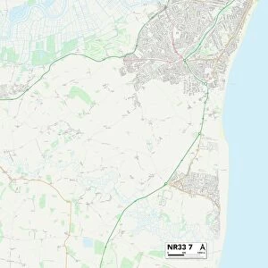
Home > Europe > United Kingdom > England > Suffolk > Stanton Street
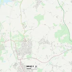
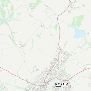
Milton Keynes MK13 7 Map

![]()
Wall Art and Photo Gifts from Map Marketing
Milton Keynes MK13 7 Map
Postcode Sector Map of Milton Keynes MK13 7
Media ID 19975542
Abbey Way Abbots Close Ashwood Bradwell Road Bridle Close Chalfont Close Chancery Close Coverdale Crispin Road Deepdale Glovers Lane Grafton Street Ingleton Close Linton Close Mill Lane Milton Keynes Monks Way Mossdale Nightingale Crescent Parker Close Randolph Close Stainton Drive Stanton Avenue Sunbury Close Wheelers Lane Bancroft Bleasdale Bradwell Cleveland Donnington Fairfax Gordale Grizedale Harrowden Richborough Stockdale Vauxhall Wallingford Withington
FEATURES IN THESE COLLECTIONS
> Animals
> Birds
> Passerines
> Chats And Flycatchers
> Nightingale
> Arts
> Artists
> P
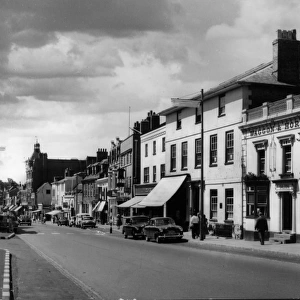
> Linton Park
> Europe
> United Kingdom
> England
> Cleveland
> Europe
> United Kingdom
> England
> Suffolk
> East End
> Europe
> United Kingdom
> England
> Suffolk
> High Street Green
> Europe
> United Kingdom
> England
> Suffolk
> High Street
> Europe
> United Kingdom
> England
> Suffolk
> Related Images
> Europe
> United Kingdom
> England
> Suffolk
> Stanton Street
> Europe
> United Kingdom
> England
> Suffolk
> Stanton
> Europe
> United Kingdom
> England
> Suffolk
> West End
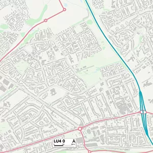
> Map Marketing
> Postcode Sector Maps
> MK - Milton Keynes
MADE IN THE USA
Safe Shipping with 30 Day Money Back Guarantee
FREE PERSONALISATION*
We are proud to offer a range of customisation features including Personalised Captions, Color Filters and Picture Zoom Tools
SECURE PAYMENTS
We happily accept a wide range of payment options so you can pay for the things you need in the way that is most convenient for you
* Options may vary by product and licensing agreement. Zoomed Pictures can be adjusted in the Cart.