Home > Europe > United Kingdom > Northern Ireland > County Down > Newcastle
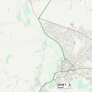
South Tyneside NE35 9 Map

![]()
Wall Art and Photo Gifts from Map Marketing
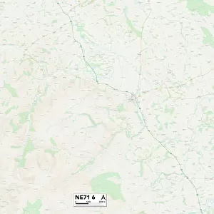
South Tyneside NE35 9 Map
Postcode Sector Map of South Tyneside NE35 9
Media ID 19974598
Alderley Close Arnold Street Badminton Close Berkeley Close Brooke Avenue Brooklands Way Burns Avenue Burnside Close Byron Avenue Cedar Drive Charles Street Cheltenham Drive Church View Eastleigh Close Edgeworth Close Ernest Street Evesham Close Fawley Close Front Street George Court Hambledon Close Henley Way Hubert Street Hutton Street John Street Keats Avenue Kingswood Close Kipling Avenue Langford Drive New Road Newcastle Road North Road Oswald Close Reginald Street Ruskin Drive Shelley Avenue Shipton Close Sidney Street South Crescent South Tyneside Station Road Tennyson Avenue Thornbury Close Whitchurch Close Wilfred Street Wimborne Close Winslow Close Woodside Drive
FEATURES IN THESE COLLECTIONS
> Animals
> Mammals
> Soricidae
> Leander
> Arts
> Artists
> G
> Charles Green
> Arts
> Artists
> G
> John Gibson
> Arts
> Artists
> H
> Hubert Hubert
> Arts
> Artists
> R
> John Ruskin
> Europe
> United Kingdom
> Northern Ireland
> County Down
> Newcastle
> Map Marketing
> Postcode Sector Maps
> NE - Newcastle upon Tyne
> Maps and Charts
> Related Images
MADE IN THE USA
Safe Shipping with 30 Day Money Back Guarantee
FREE PERSONALISATION*
We are proud to offer a range of customisation features including Personalised Captions, Color Filters and Picture Zoom Tools
SECURE PAYMENTS
We happily accept a wide range of payment options so you can pay for the things you need in the way that is most convenient for you
* Options may vary by product and licensing agreement. Zoomed Pictures can be adjusted in the Cart.