Home > Europe > France > Paris > Maps
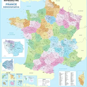
Map of the Paris World Fair, 1937 (litho)
")
![]()
Wall Art and Photo Gifts from Fine Art Finder
Map of the Paris World Fair, 1937 (litho)
1729068 Map of the Paris World Fair, 1937 (litho) by French School, (20th century); (add.info.: Map of the world fair, Paris, 1937)
Media ID 25341600
© Bridgeman Images
1937 Worlds Fair City Map City Plan Cultural Edhibitions Exhibited Exhibitors Exposition Fair General Map Street Plan Universal World Exhibition 1930 1939 Years 30 30s 1930 1939 Years 30s 19301939 1933 34 C European Economic Community C European Union Nineteen Thirties Years 1930 Years 30 Years Thirty
FEATURES IN THESE COLLECTIONS
> Arts
> Portraits
> Pop art gallery
> Street art portraits
> Europe
> France
> Paris
> Maps
> Europe
> France
> Paris
> Related Images
> Fine Art Finder
> Artists
> French School
> Fine Art Finder
> Artists
> Photographer French
> Maps and Charts
> Early Maps
> Maps and Charts
> Related Images
> Maps and Charts
> World
EDITORS COMMENTS
This vibrant lithograph print showcases the Map of the Paris World Fair, 1937, a historical artifact that captures the essence of this iconic event. Created by an anonymous French School artist in the early 20th century, this map provides a colorful and detailed representation of the world fair held in Paris during that time. The exposition universelle de 1937 was a grand celebration of culture, innovation, and progress. This map serves as a visual guide to navigate through the vast exhibition grounds and highlights various pavilions representing different countries from around the globe. It offers a glimpse into the rich cultural diversity showcased at this significant event. With its vivid colors and intricate details, this lithograph transports us back to the bustling atmosphere of 1930s Paris. The map not only captures geographical information but also reflects the spirit of unity among nations during that era. As we explore this piece further, it becomes evident that it is more than just a simple cartographic representation; it is an artistic expression reflecting European civilization's achievements at that time. From French culture to exhibits from overseas territories and European Union member states, this map encapsulates both national pride and international cooperation. Overall, this print serves as a captivating window into history—a testament to human ingenuity and global collaboration—making it an invaluable addition for any art enthusiast or history lover's collection.
MADE IN THE USA
Safe Shipping with 30 Day Money Back Guarantee
FREE PERSONALISATION*
We are proud to offer a range of customisation features including Personalised Captions, Color Filters and Picture Zoom Tools
SECURE PAYMENTS
We happily accept a wide range of payment options so you can pay for the things you need in the way that is most convenient for you
* Options may vary by product and licensing agreement. Zoomed Pictures can be adjusted in the Cart.