Art Prints, Posters and Puzzles

Johannes Hevelius, engraved by J. Baker (engraving)

Framed Print : Johannes Hevelius, engraved by J. Baker (engraving)
product preview 0
product preview 1
product preview 2
product preview 3
Size Guide

Open 3D Preview

Framed Prints

£69.98

This artwork is available as

Prints
Framed Prints
Poster Prints
Jigsaw Puzzles
Canvas Prints
Fine Art Prints
Mounted Prints
Metal Prints
Home Decor

Framed Print of Johannes Hevelius, engraved by J. Baker (engraving)
XJF359087 Johannes Hevelius, engraved by J. Baker (engraving) by Schultz, Daniel the Younger (1615-83) (after); Private Collection; (add.info.: Johannes Hevelius (1611-87). Polish astronomer; ); Polish, out of copyright. © Bridgeman Images
Your chosen combination is quickly and professionally made to order - Shipping & Delivery Details

If you are not entirely happy with your items, simply return them to us within 30 days for a replacement or full refund - 30 Day Returns

Media ID 22377162


Johan Johann John

Fast Delivery
Great Value
100% Secure Payment
30 Day Returns

Modern 14"x12" (36x31cm)

Ready to Hang Contemporary Framed Prints adds style, protection, and a polished touch to your space - effortlessly.

Your artwork will be printed as shown in the preview. To adjust please select Print Options under the Buy button

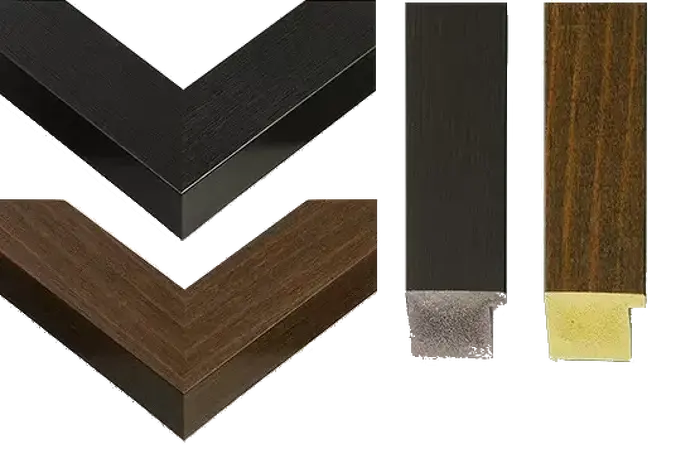
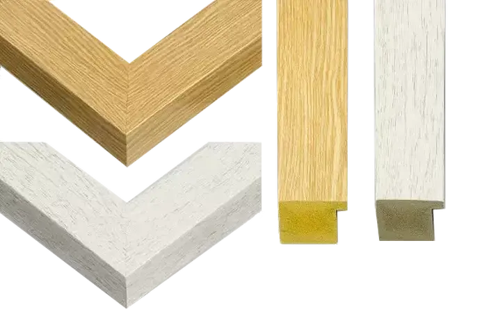
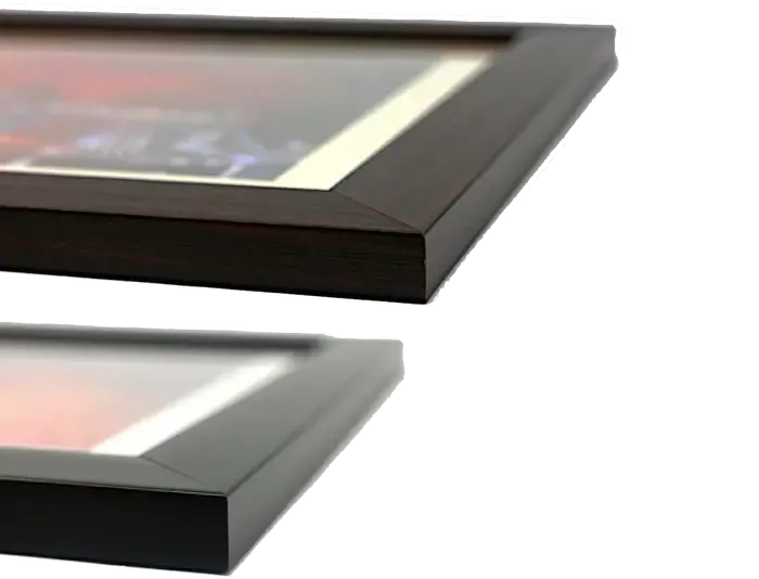
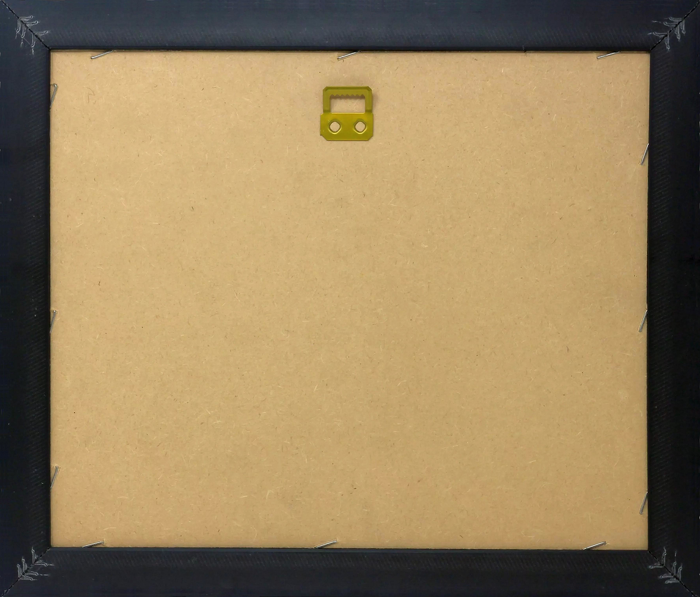
Wood effect frame, card mounted, 10x8 fade resistant photo print. Overall outside dimensions 14x12 inches (36x31cm). Environmentally and ozone friendly, 40mm wide x 15mm Polycore® moulding has the look of real wood, is durable and light and easy to hang. Biodegradable and made with non-chlorinated gases (no toxic fumes) it is efficient; producing 100 tons of polystyrene can save 300 tons of trees! Prints are glazed with lightweight, shatterproof, optical clarity acrylic (providing the same general protection from the environment as glass). The back is stapled hardboard with a sawtooth hanger attached. Note: measurements provided are estimated outer dimensions, which include both the image and the frame. While we aim to keep sizing consistent, exact dimensions may vary slightly due to differences in print size or production requirements, which may result in a variation in the overall size (up to approximately 2.5cm (1"))

These are individually made so all sizes are approximate

Estimated Image Size (if not cropped) is 19.3cm x 23.4cm (7.6" x 9.2")

Estimated Product Size is 31cm x 36cm (12.2" x 14.2")

Features in These Collections

Home > Artists > Daniel The Younger (after) Schultz

Home > Maps (celestial and Terrestrial)

Home > Science,scientists and Inventions

Gallery Wall Inspiration


138967
Print of a 13th-century vellum Mappa Mundi
Louis XV cartouche-shaped Royal snuff-box with interior portrait of King Stanislas Leszczynski (1677-1766), probably by Claude de Serre, Paris 1728/9 (mother-of-pearl and gold)
A 1746 Map of Bloomsbury and Holborn, London Print
Cornwall Map Print, hand-coloured engraving, 1627 edition
Map of the Countries of Africa, including a detail of the Fortress of Mozambique, Portuguese, c.1700
Normandy Lithograph Print 1852
The Drunken Dandy, after Felicien Rops. From Illustrierte Sittengeschichte vom Mittelalter bis zur Gegenwart by Eduard Fuchs, published 1909
Map of the state of New York, 1850 (engraving)
The Mappa Mundi of Fra Mauro, 1459 Print, Italian School
The Course of the Danube from its Source to its Mouth, based on the most recent memoires of P. Coroneli and S. Sanson, Geographer to the King (colour litho)
Woodcut Print of Venice, 1500
Cartouche with a dedication to Cardinal Richelieu (1585-1642), and a map of the Low Countries at the time of the Thirty Years war (1618-48), from Theatre des guerres entre le roy d'espagne et les Estats de Hollande
Hand-coloured engraving of the Battle of Alexandria Print
Map of South America in 1582, 18th - 19th century (pen, ink & w/c on paper)
A New Map of the Roman Empire Print
The siege of Stralsund, Germany, 1628, during the Thirty Years War, c.1880 (engraving)
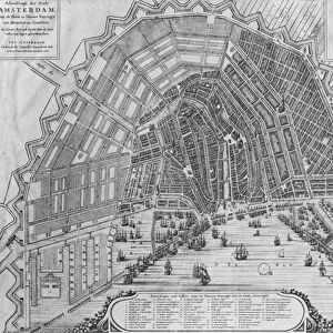
Black and white photograph of a 1662 engraving print of Amsterdam
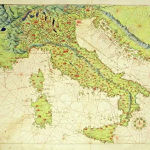
A 16th-century ink on vellum print of Italy from a Venice atlas
Peking, from The Book of Ser Marco Polo, 1903 (pen and ink on paper)
Print of a 19th-century English map, colour lithograph
German fashion around 1810. From Illustrierte Sittengeschichte vom Mittelalter bis zur Gegenwart by Eduard Fuchs, published 1909
Australia and New Zealand Coloured Print
Map of the City of New York with the adjacent cities of Brooklyn & Jersey City, & the village of Williamsburg, 1852 (engraving)
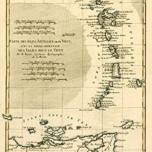
The Lesser Antilles Print, a coloured engraving of the Windward Islands
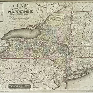
Map of the state of New-York and the surrounding country by David H. Burr, 1839 (engraving)
George Washington Cable (1844-1925) in his study, photographed by A.J. Schillare, c.1898 (b&w photo)
Africa Map Print with St. Helena Inset, 1863 Colour Engraving
Cumberland and Carlisle Print, a hand-coloured copper engraving
Sussex, engraved by W. Schmollinger, published in Thomas Moule's The English Counties delineated, or a topographical description of England, 1837 (hand coloured engraving)
Hartfordshire Print, a hand-coloured copper engraving
After a work by Louis Legrand entitled, The Greeting. Modern Cancan pose. From Illustrierte Sittengeschichte vom Mittelalter bis zur Gegenwart by Eduard Fuchs, published 1909
Rutlandshire Print, a hand-coloured copper engraving
The southern part of the Province of New York, with part of the adjoining colonies, 1778 (engraving)
Map of the Zwin Area Print by Jehan de Hervy
An Englishman Shooting a Tiger from an Elephant, Calcutta, c.1830 (w/c)
Victoria, Australia, from Illustrated Atlas of the World, pub. by Tallis & Co. 1849-53
Print of 1912 World Trade Shipping Routes
Albert Edward Prince of Wales, 1910 (print)
Avignon Print, 1572
Print of St. James Compostel Map 1648
The Moluccas, page from a portolan atlas by Lopo Homem and Pedro Reinel, c.1519 (vellum)
A selection of Japanese swords and matchlock pistols, 19th century (wood and brass)
Hand-coloured Engraving Print of Zurich Battle
Map of Ethiopia showing five African states, c.1690 possibly after G. Blaeu's Grooten Atlas of 1648-65
Map of the Siege of Quebec Print
Head of woman, drawing by Odilon Redon (1840-1916) c. the 1880's-1890's
Americas first national map print, 1784 hand-coloured engraving
Map of the world, based on descriptions and co-ordinates given in Geographia, by Ptolemy (Claudius Ptolemaeus of Alexandria) (c.90-168 AD)
Hand-coloured engraving of Virginia and Florida on vellum, 1667 print
Fool's Cap World Map, c.1590 (hand-coloured engraving on off-white paper, with inscriptions in iron gall ink)
Marseille and Genoa Port Print, 1651
Fete de la Federation a Paris
The Situation of the Earth in the Heavens Print

Discover Our Collections


Science,scientists and InventionsScience,scientists and Inventions
Maps (celestial and Terrestrial)Maps (celestial and Terrestrial)
Daniel The Younger (after) SchultzDaniel The Younger (after) Schultz


© Copyright OneVisionArt - All Rights Reserved 2026
Orders fulfilled by Media Storehouse®
We accept all major payment options so you can pay for the things you need in the way that is most convenient for you