Home > Europe > United Kingdom > Scotland > Fife > St Andrews
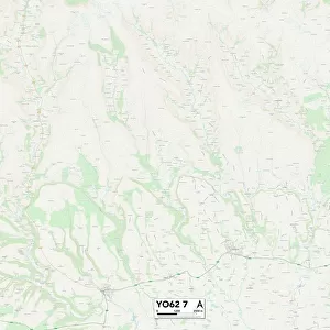
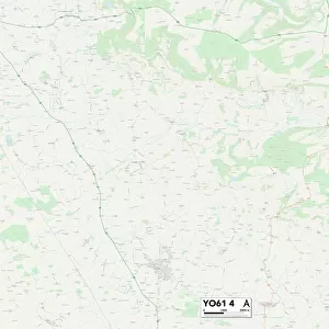
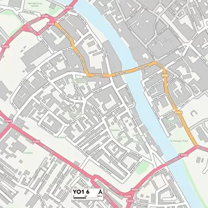
York YO60 7 Map

![]()
Wall Art and Photo Gifts from Map Marketing
York YO60 7 Map
Postcode Sector Map of York YO60 7
Media ID 19983196
Back Lane Barton Hill Beech Crescent Butts Lane Chapel Lane Chestnut Avenue Church Lane Cliff Lane Common Road Cross Lane Dark Lane High Lane High Street Ings Lane Low Lane Low Street Main Street Moor Lane Sandy Lane St Andrews Lane The Orchards The Rise Water Lane Whitwell Road Wood Lane York York Lane Claxton Crambe Green Hills Kirkham The Stray
FEATURES IN THESE COLLECTIONS
> Europe
> United Kingdom
> Scotland
> Fife
> St Andrews
> Map Marketing
> Postcode Sector Maps
> YO - York
> Maps and Charts
> Related Images
MADE IN THE USA
Safe Shipping with 30 Day Money Back Guarantee
FREE PERSONALISATION*
We are proud to offer a range of customisation features including Personalised Captions, Color Filters and Picture Zoom Tools
SECURE PAYMENTS
We happily accept a wide range of payment options so you can pay for the things you need in the way that is most convenient for you
* Options may vary by product and licensing agreement. Zoomed Pictures can be adjusted in the Cart.