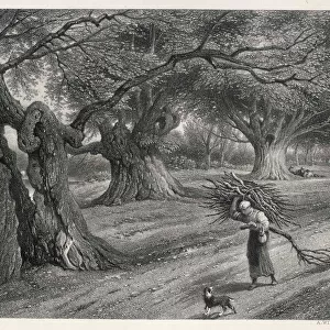
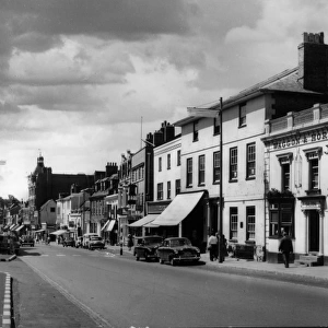
Home > Europe > United Kingdom > England > Norfolk > Twyford
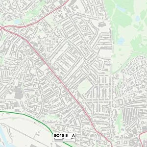
Southampton SO15 5 Map

![]()
Wall Art and Photo Gifts from Map Marketing
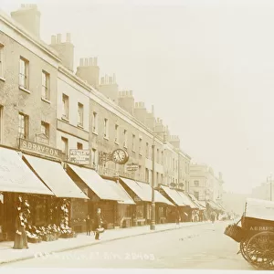
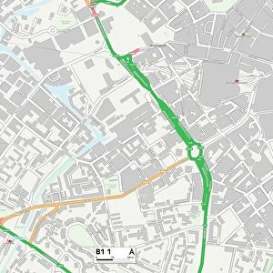
Southampton SO15 5 Map
Postcode Sector Map of Southampton SO15 5
Media ID 19981658
Alexandra Road Anglesea Road Arthur Road Bourne Avenue Branksome Avenue Cannon Street Cedar Avenue Charlton Road Cherry Walk Church End Church Street Crown Street Darwin Road Dawlish Avenue Eastbourne Avenue Greville Road Gurney Road Hampton Close Hill Hill Farm Road Howard Road Hyde Close Malmesbury Road Morland Road Mulberry Walk Newbury Road Newlands Avenue Newman Street Norfolk Road Queens Road Raymond Road Reynolds Road Roberts Road Salem Street Sandown Road Shirley Avenue So15 South View Road Southampton St James Road Stafford Road Stratton Road Suffolk Avenue Sydney Road Thornbury Avenue Twyford Avenue Victor Street Vincent Road Vincent Street Wordsworth Road Shirley
FEATURES IN THESE COLLECTIONS
> Arts
> Artists
> B
> James Bourne
> Arts
> Artists
> H
> Robert Hills
> Arts
> Artists
> R
> James Roberts
> Europe
> United Kingdom
> England
> Norfolk
> Related Images
> Europe
> United Kingdom
> England
> Norfolk
> Twyford
> Europe
> United Kingdom
> England
> Norfolk
> Upper Street
> Europe
> United Kingdom
> England
> Suffolk
> High Street
> Europe
> United Kingdom
> England
> Suffolk
> Related Images
> Europe
> United Kingdom
> England
> Suffolk
> Upper Street
> Map Marketing
> Postcode Sector Maps
> SO - Southampton
> Maps and Charts
> Related Images
MADE IN THE USA
Safe Shipping with 30 Day Money Back Guarantee
FREE PERSONALISATION*
We are proud to offer a range of customisation features including Personalised Captions, Color Filters and Picture Zoom Tools
SECURE PAYMENTS
We happily accept a wide range of payment options so you can pay for the things you need in the way that is most convenient for you
* Options may vary by product and licensing agreement. Zoomed Pictures can be adjusted in the Cart.