Home > Europe > United Kingdom > England > London > Boroughs > Haringey
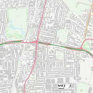
Haringey N15 6 Map

![]()
Wall Art and Photo Gifts from Map Marketing
Haringey N15 6 Map
Postcode Sector Map of Haringey N15 6
Media ID 19975683
Albert Road Barry Avenue Berkeley Road Bushey Road Clifton Gardens Crowland Road Eastbourne Road Fairview Road Ferndale Road Franklin Street Frinton Road Grovelands Road Haringey Heysham Road Hillside Road Howard Road Langford Close Latimer Road Manchester Road Moreton Close Moreton Road Netherton Road Norfolk Avenue Paignton Road Pulford Road Richmond Road Riverside Road St Johns Road Tewkesbury Close Tewkesbury Road Thorpe Road Tiverton Road Wellington Avenue Westcott Close Stamford Hill
FEATURES IN THESE COLLECTIONS
> Arts
> Artists
> H
> John Hillers
> Arts
> Artists
> H
> John Hills
> Europe
> United Kingdom
> England
> London
> Boroughs
> Haringey
> Europe
> United Kingdom
> England
> London
> Sights
> Richmond Park
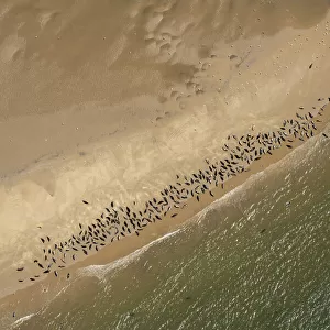
> Europe
> United Kingdom
> England
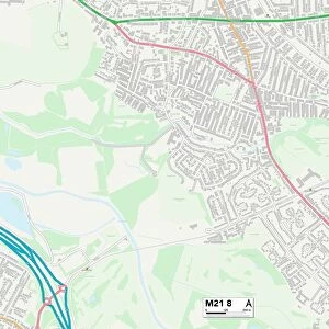
> Manchester
> Clifton
> Europe
> United Kingdom
> England
> Manchester
> Manchester
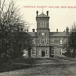
> Europe
> United Kingdom
> England
> Norfolk
> Related Images
> Europe
> United Kingdom
> England
> Norfolk
> Thorpe
> Europe
> United Kingdom
> Northern Ireland
> County Down
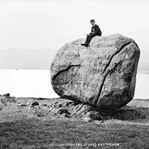
> Rostrevor
> Europe
> United Kingdom
> Wales
> South Glamorgan
> Barry
> Map Marketing
> Postcode Sector Maps
> N - London N
MADE IN THE USA
Safe Shipping with 30 Day Money Back Guarantee
FREE PERSONALISATION*
We are proud to offer a range of customisation features including Personalised Captions, Color Filters and Picture Zoom Tools
SECURE PAYMENTS
We happily accept a wide range of payment options so you can pay for the things you need in the way that is most convenient for you
* Options may vary by product and licensing agreement. Zoomed Pictures can be adjusted in the Cart.