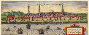
A general chart of the northern navigation, 1675 (coloured engraving)




Framed Prints
This artwork is available as
Framed Print of A general chart of the northern navigation, 1675 (coloured engraving)
7340043 A general chart of the northern navigation, 1675 (coloured engraving) by Seller, John (1632-97); 43.5x54 cm; National Maritime Museum, London, UK; (add.info.: Creator: John Seller; Francis Lamb; John Darby
Scale: [ca. 1:9 000 000 (bar)]. Cartographic Note: Borders graduated for latitude. Bar scales in English and French leagues, Spanish leagues and Dutch miles. Additional Places: Northern Europe, Iceland, Greenland, Novaya Zemlya. Contents Note: There is a continuation of Nova Zemla inset at the same scale at the top right. There are two other insets at different, unstated, scales, separated by decorative tendrils: The River Dvina in Russia going up to Archangel [N at 226 degrees]; and The Sound [N at 272 degrees].); © National Maritime Museum, Greenwich, London. © © National Maritime Museum, Greenwich, London / Bridgeman Images
Your chosen combination is quickly and professionally made to order - Shipping & Delivery Details
If you are not entirely happy with your items, simply return them to us within 30 days for a replacement or full refund - 30 Day Returns
Media ID 38372182
Danish Denmark Greenland Iceland Icelander Icelandic Norway Norwegian Norwegians
Modern 14"x12" (36x31cm)
Ready to Hang Contemporary Framed Prints adds style, protection, and a polished touch to your space - effortlessly.
Your artwork will be printed as shown in the preview. To adjust please select Print Options under the Buy button
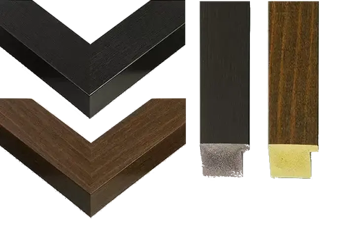
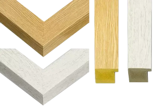
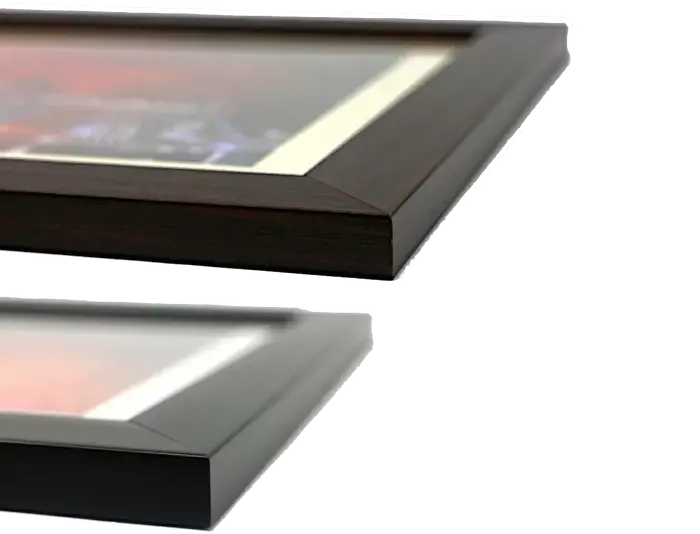
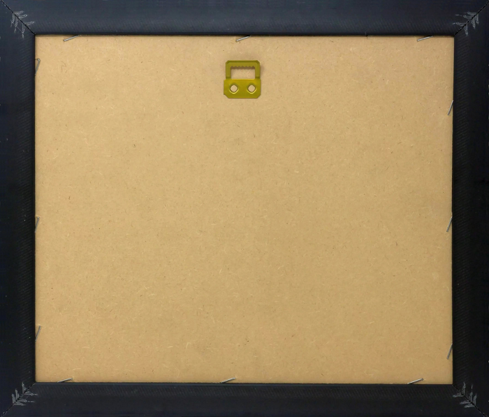
Wood effect frame, card mounted, 10x8 fade resistant photo print. Overall outside dimensions 14x12 inches (36x31cm). Environmentally and ozone friendly, 40mm wide x 15mm Polycore® moulding has the look of real wood, is durable and light and easy to hang. Biodegradable and made with non-chlorinated gases (no toxic fumes) it is efficient; producing 100 tons of polystyrene can save 300 tons of trees! Prints are glazed with lightweight, shatterproof, optical clarity acrylic (providing the same general protection from the environment as glass). The back is stapled hardboard with a sawtooth hanger attached. Note: measurements provided are estimated outer dimensions, which include both the image and the frame. While we aim to keep sizing consistent, exact dimensions may vary slightly due to differences in print size or production requirements, which may result in a variation in the overall size (up to approximately 2.5cm (1"))
These are individually made so all sizes are approximate
Estimated Image Size (if not cropped) is 23.3cm x 19.3cm (9.2" x 7.6")
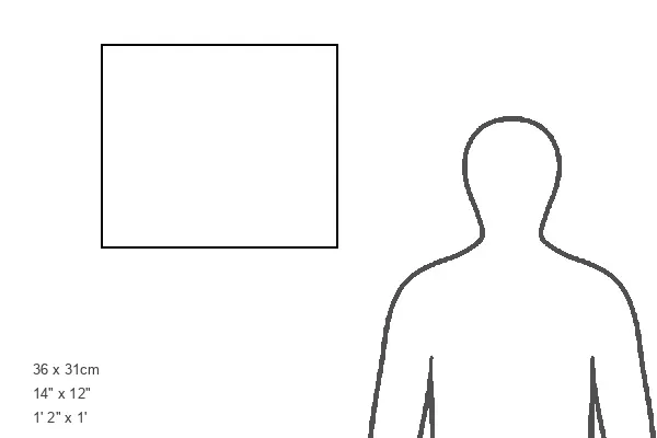
Estimated Product Size is 36cm x 31cm (14.2" x 12.2")
Features in These Collections
Home > Artists > John Diston
Home > Artists > John Seller