Fraud Blocker Skip to main content

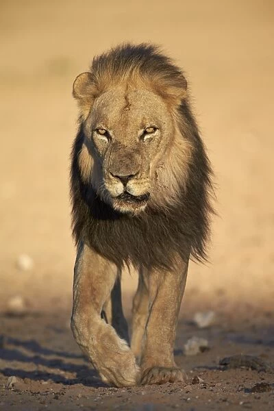
Lion (Panthera leo), Kgalagadi Transfrontier Park, encompassing the former Kalahari Gemsbok National Park, South Africa, Africa

Lion (Panthera leo), Kgalagadi Transfrontier Park, encompassing the former Kalahari Gemsbok National Park, South Africa, Africa


Framed Photos
Photo Prints
Jigsaw Puzzles
Poster Prints
Canvas Prints
Fine Art Prints
Metal Prints
Home Decor
Background Images
Image Downloads


We accept all major credit cards

WorldInPrint

Wall Art and Photo Gifts from Robert Harding

Lion (Panthera leo), Kgalagadi Transfrontier Park, encompassing the former Kalahari Gemsbok National Park, South Africa, Africa

Robert Harding Picture Library provides high quality travel, nature, wildlife & environmental photos

Media ID 9638381

© James Hager

Kalahari Gemsbok National Park Kgalagadi Transfrontier Park Lion Male Animal Mane Panthera Leo Portrait Safari Animals Threats


MADE IN THE USA
Safe Shipping with 30 Day Money Back Guarantee

FREE PERSONALISATION*
We are proud to offer a range of customisation features including Personalised Captions, Color Filters and Picture Zoom Tools

SECURE PAYMENTS
We happily accept a wide range of payment options so you can pay for the things you need in the way that is most convenient for you

* Options may vary by product and licensing agreement. Zoomed Pictures can be adjusted in the Cart.


Related Images


Map of the Roman Empire
North America at night, satellite image
Wales, UK, satellite image
Map of Great Britain and Ireland, by Stefano Buonsignori, oil painting, 1575-1584
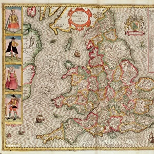
The Kingdome of England, engraved by Jodocus Hondius (1563-1612) from John Speed s
Map of Sixteenth Century Europe, from the Sala del Mappamondo (Hall of the World Maps) c
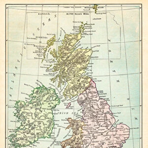
Map of Great Britain and Ireland, 19th century engraving
Map of Great Britain and Ireland, 1899
1818, Pinkerton Map of the British Isles, England, Scotland, Ireland, John Pinkerton
Map of the British Isles 1895

+

Shipping

+

Choices

+

Reviews

+
Guaranteed