Home > Universal Images Group (UIG) > Art > Painting, Sculpture & Prints > Illustration And Painting
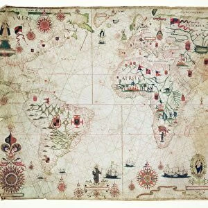
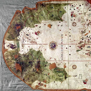
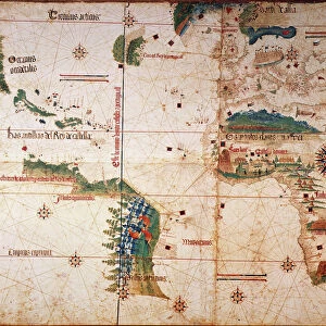
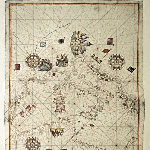
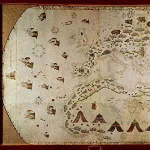
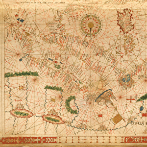
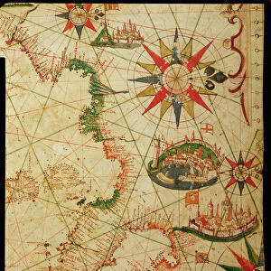
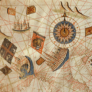
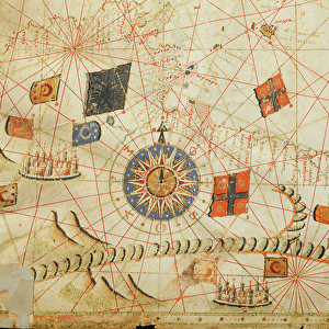
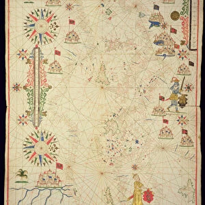
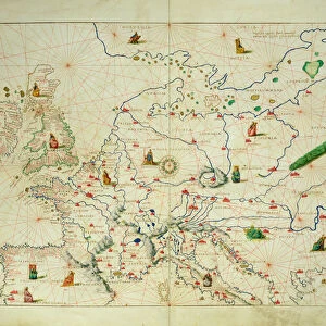
Portolan chart created by Vesconte de Maiollo, ink and watercolor on parchment, 1535

![]()
Wall Art and Photo Gifts from Universal Images Group (UIG)
Portolan chart created by Vesconte de Maiollo, ink and watercolor on parchment, 1535
Cartography, 16th century. portolan chart created by Vesconte de Maiollo, 1535. Ink and watercolor on three sheets of parchment mounted on a wooden support, 48 x 70 cm. Front side
Universal Images Group (UIG) manages distribution for many leading specialist agencies worldwide
Media ID 9503343
© DEA PICTURE LIBRARY
16th Century Africa Bizarre Direction Guidance Open Parchment Upside Down Watercolor Western Script Mediterrean Sea Portolan
MADE IN THE USA
Safe Shipping with 30 Day Money Back Guarantee
FREE PERSONALISATION*
We are proud to offer a range of customisation features including Personalised Captions, Color Filters and Picture Zoom Tools
SECURE PAYMENTS
We happily accept a wide range of payment options so you can pay for the things you need in the way that is most convenient for you
* Options may vary by product and licensing agreement. Zoomed Pictures can be adjusted in the Cart.