Home > Europe > United Kingdom > Scotland > Stirlingshire > Stirling
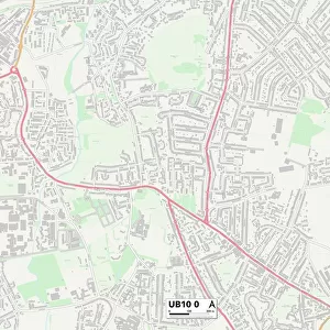
Wirral CH44 5 Map

![]()
Wall Art and Photo Gifts from Map Marketing
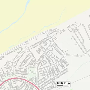
Wirral CH44 5 Map
Postcode Sector Map of Wirral CH44 5
Media ID 19968267
Acland Road Adelaide Street Ashburton Road Austin Street Balfour Road Bishop Road Cecil Road Ch44 Chamberlain Street Chester Street Clayton Lane Conway Street Devonshire Road Eldon Road Eric Road Hartington Road Highfield Close Kendal Road Limekiln Lane Love Lane Lynwood Avenue Mill Lane Morley Road Newton Road Old Barn Road Overton Road Parkfield Drive Ruskin Avenue St Albans Road St Marys Avenue St Marys Street Stirling Street Stretton Avenue Surrey Street Tiverton Avenue Wellesley Road Wirral Woodstock Road
FEATURES IN THESE COLLECTIONS
> Europe
> United Kingdom
> England
> Surrey
> Related Images
> Europe
> United Kingdom
> Scotland
> Stirlingshire
> Stirling
> Map Marketing
> Postcode Sector Maps
> CH - Chester
> Maps and Charts
> Related Images
MADE IN THE USA
Safe Shipping with 30 Day Money Back Guarantee
FREE PERSONALISATION*
We are proud to offer a range of customisation features including Personalised Captions, Color Filters and Picture Zoom Tools
SECURE PAYMENTS
We happily accept a wide range of payment options so you can pay for the things you need in the way that is most convenient for you
* Options may vary by product and licensing agreement. Zoomed Pictures can be adjusted in the Cart.