Skip to main content
0
Collections
Editor's Picks
Trending
New
Sign In
Navigation Prints (#7)
<
1…
2
3
4
5
6
7
8
>
Quintant used by William Napier during the Peninsular War (quintant)
From £69.98
Catalan Atlas, Sheet 7, 1375 (pen and coloured inks on parchment)
From £69.98
Cathay, China from the Catalan Atlas (reproduction)
From £69.98
Catalan Atlas, Sheet 4 (pen with coloured inks on parchment)
From £69.98
Catalan Atlas, Sheet 3, 1375 (pen and coloured inks on parchment)
From £69.98
Portrait of Queen Elizabeth I, c. 1580 (oil on panel)
From £69.98
Martin Frobishers new road to Cathay (oil on canvas)
From £69.98
The Mutiny of the Crew of the Portuguese Flor de La Mar, against their General
From £69.98
Navigation chart showing China
From £69.98
The Deviation of the Alexander at Lerwick, illustration from A Voyage of discovery
From £69.98
A wonderful lead through a split floeberg, pub. London 1886 (engraving)
From £69.98
A Nautical Map, detail of the Gran Turco, 1564 (colour litho)
From £69.98
Landing at Eskimo Point, September 29, 1883, Pub. London 1886 (engraving)
From £69.98
The Crushing of our Floe, September 26, 1883, pub. London 1886 (engraving)
From £69.98
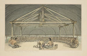
7: Poulaho, King of the Friendly Islands, drinking Kava
From £69.98
Captain Cooks ships HMS Resolution and Adventure in the Long Reach
From £69.98
35: Tereoboo, King of Owyhee, bringing presents to Captain Cook
From £69.98
19: An Inland View, on Atooi, from a series of watercolours illustrating Captain Cook
From £69.98
Robert Fultons The North River Steamboat of Claremont navigating from New York
From £69.98
Boston Harbor, Sunset, 1850-55 (oil on canvas)
From £69.98
Lighthouse at Camden, Maine, 1851 (oil on canvas)
From £69.98
Central America, from an Atlas of the World in 33 Maps, Venice, 1st September 1553
From £69.98
Map showing the Molucca Islands off Halmahera, 1640 (coloured engraving)
From £69.98
Decorative Frieze: navigation (fresco)
From £69.98
Portland Head Light, Portland, Maine, c. 1900-10 (b / w photo)
From £69.98
Entrance to St. Marys Canal, Sault Ste. Marie, Michigan, c. 1900-06 (b / w photo)
From £69.98
Ms Fr 2810 f. 188, Navigators using an astrolabe in the Indian Ocean, from the Livre
From £69.98
Navigation, c. 1670-90 (pen and ink and graphite on paper)
From £69.98
William Lashly, from South With Scott by E. R. G. R. Evans, c. 1910-13 (b / w photo)
From £69.98
Captain Evans observing with the theodolite used by Captain Scott to fix position of the South Pole
From £69.98
India and Malaysia, from an Atlas of the World in 33 Maps, Venice, 1st September 1553
From £69.98
The Indian Ocean, from an Atlas of the World in 33 Maps, Venice, 1st September 1553
From £69.98
Madagascar, from an Atlas of the World in 33 Maps
From £69.98
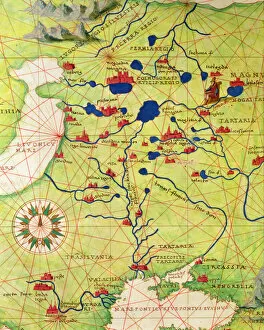
Europe and Central Asia, from an Atlas of the World in 33 Maps, Venice, 1st September 1553
From £69.98
The Continent of Europe, from an Atlas of the World in 33 Maps, Venice, 1st September 1553
From £69.98
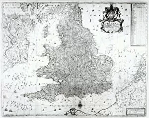
A New Map of the Kingdom of England and the Principalitie of Wales, 1669 (engraving)
From £69.98
Map of Northern Europe (hand coloured engraving)
From £69.98
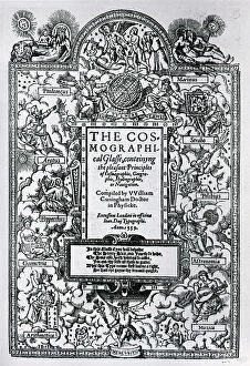
Titlepage of The Cosmographical Glass, 1559 (woodcut)
From £69.98
Penguin hunting, 1598 (engraving)
From £69.98
St. Brendan and the Siren, illustration from The Voyage of St. Brendan
From £69.98
St. Brendan on the fish island, illustration from The Voyage of St. Brendan
From £69.98
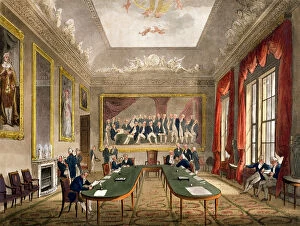
Trinity House from Ackermanns Microcosm of London
From £69.98
Port Desire, 1626 (engraving)
From £69.98
Terrestrial globe, one of a pair known as the Brixen globes, c. 1522 (pen & ink
From £69.98
Terrestrial Globe, one of a pair known as the Brixen globes, c. 1522 (pen & ink
From £69.98
New Holland: New South Wales (engraving) (b / w photo)
From £69.98
Map of Eastern North America: Florida to Chesapeake Bay (lithograph)
From £69.98
A chart of the East coast of Scotland from a sea-atlas containing an hydrographical
From £69.98
Trading map of the West Indies, 1707 (hand coloured print)
From £69.98
A new and correct map of the world from an atlas of the sea, 1707 (hand coloured print)
From £69.98
Chart of the Western (now Atlantic) Ocean with rhumb lines by Jeremiah Seller, 1705
From £69.98
Territorial holdings of the Dutch West India Company, 1710 (hand coloured print
From £69.98
A new and correct map of the trading part of the West Indies, 1741 (hand coloured print)
From £69.98
Newly discovered Virginia, 1590 (hand coloured engraving)
From £69.98
A new and accurate map of the world, 1676 (hand coloured print)
From £69.98
A general map of the world or terraqueous globe by Samuel Dunn, 1787 (engraving)
From £69.98
Double-hemisphere world map from Gooss Sea Atlas of the Water World, 1672 (hand
From £69.98
A True Description of the Naval Expedition of Francis Drake, who with Five Ships
From £69.98
Englands Famous Discoverers (engraving) (b / w photo)
From £69.98
Flying Fish Meet in the Torrid Zone, from Americae Tertia Pars
From £69.98
The Islands of Samoa and Maouna, from the itinerary of La Perouse, 1787 (engraving)
From £69.98
Description of Isla Escudo de Veraguas by Francis Drake (pen & ink on paper)
From £69.98
Map of Raleighs Virginia (lithograph)
From £69.98
Entrenchments, Puerto Rico (litho)
From £69.98
Map describing the islands of Salvador, Espanola, Fernanda, Isabella and Conception
From £69.98
Portrait of Christopher Columbus from Les Vrais portraits et Vies des Hommes
From £69.98
XJF1072630; Private Collection; out of copyright
From £69.98
Allegory of the Barberini Family, print made by Karl Audran c. 1623-40 (engraving)
From £69.98
Navigation, from The Gentlemans Recreation published by Richard Blome
From £69.98
Calculating Longitude with the Declination of the Sun, plate 17 from Nova Reperta
From £69.98
A Prospect of the Road in the Bay of Sierra Liona, an illustration from vol. 5 of Awnsham
From £69.98
Arminio Vambery and his companions navigating the Caspian Sea in 1863, illustration
From £69.98
Stanley and his expeditions first sighting of Tanganyika, East Africa, in 1872
From £69.98
Thomas Crean, from South With Scott by E. R. G. R. Evans (b / w photo)
From £69.98
An expedition navigating the lakes of Central Africa in the late 19th century
From £69.98
The sun and the stars guiding the sailors on their way, from the Atlas Maior
From £69.98
James Augustus Grant (b / w photo)
From £69.98
Navigators mistake a whales back for an island, after a miniature in Richard
From £69.98
Detail from Europe and Central Asia, from an Atlas of the World in 33 Maps, Venice
From £69.98
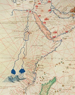
Part of Africa, from an Atlas of the World in 33 Maps, Venice, 1st September 1553
From £69.98
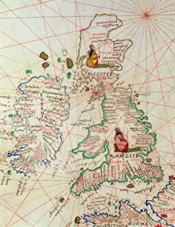
The Kingdoms of England and Scotland, from an Atlas of the World in 33 Maps, Venice
From £69.98
Egypt and the Red Sea, from a nautical atlas of the Mediterranean and Middle East
From £69.98
Christopher Columbus, 1839 (oil on canvas)
From £69.98
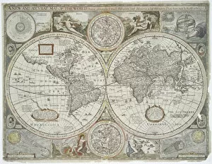
Copy of Catalan Map of Europe, North Africa and the Middle East (hand-coloured engraving)
From £69.98
<
1…
2
3
4
5
6
7
8
>
Printed to Order and Licensed for Personal Use
© Copyright OneVisionArt - All Rights Reserved 2026
Orders fulfilled by
Media Storehouse
®