Skip to main content
0
Collections
Editor's Picks
Trending
New
Sign In
British Channel Prints
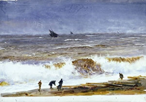
Etretat: the washers on the beach at the foot of the cliffs, 1919 (Postcard)
From £69.98
County of Hampshire, 1810 (print)
From £69.98
Map of England and Wales, 1810 (print)
From £69.98
New British submarines leaving Milford Haven (England)
From £69.98
Frigate passing a crowded lugger, 18th century (oil on panel)
From £69.98
The engine manufacturer watching the departure of Bleriot, 1909 (b/w photo)
From £69.98
Hubert Latham crossed the English Channel on Antoinette monoplane, 1909 (b/w photo)
From £69.98
Locomotive Defences by an Ordnance Railway Round the Coast, 1860 (litho on paper)
From £69.98
A table containing details of the main maritime ports that are represented in the map of the English Channel
From £69.98
Augsburg League War
From £69.98
Characters on the beach, probably in Amble( France)
From £69.98
The Expedition of the Coffins, or Boney's invincible armada, half above the waves
From £69.98
A new hydrographical survey of the British Channel
From £69.98
English Channel, 1730 (engraving)
From £69.98
Chart of the English Channel, 1584 (coloured engraving)
From £69.98
Map of Bay of Biscay and English Channel, 1596 (vellum)
From £69.98
Pas-caert van de Canael, tusschen Engelandt en Vranckryck
From £69.98
Pas-caert van Texel tot aen de Hoofden, 1661 (print, paper)
From £69.98
The British Channel with a part of the Atlantic Ocean and of the Coast of Ireland
From £69.98
Chart of the English Channel and the Atlantic coasts of southern Britain and northern France
From £69.98
Launch of fireships against the Spanish Armada, 7 August 1588, c.1590 (oil on canvas)
From £69.98
Ships of William the Conqueror, 1066, 1811 (coloured etching)
From £69.98
The British ship Queen, June 1
From £69.98
John Bull (icon of the British nation) exchanging news with the continent
From £69.98
Boulogne at high tide (France)
From £69.98
The beach of Berck sur mer (Berck-sur-Mer) (France)
From £69.98
Ferry boat between Ostend and Dover, ca 1900 (poster)
From £69.98
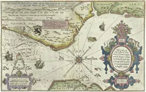
Map of the Coast of Flanders, Normandy and England, 1580-81 (engraving)
From £69.98
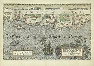
Map of the English coast between the Isle of Wight and Dover, 1580-83 (engraving)
From £69.98
Map of the South England coast between the Isle of Wight and Dover, 1580-83 (engraving)
From £69.98
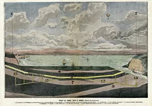
Channel Tunnel Project between Dover and Sangatte, 1906 (illustration)
From £69.98
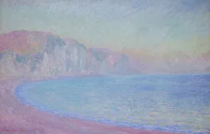
Cliffs at Pourville, rising sun, 1897 (oil on canvas)
From £69.98
Printed to Order and Licensed for Personal Use
© Copyright OneVisionArt - All Rights Reserved 2026
Orders fulfilled by
Media Storehouse
®