Art Prints, Posters and Puzzles

Prince James Francis Edward Stuart

Framed Print : Prince James Francis Edward Stuart
product preview 0
product preview 1
product preview 2
product preview 3
Size Guide

Open 3D Preview

Framed Prints

£69.98

This artwork is available as

Prints
Framed Prints
Poster Prints
Jigsaw Puzzles
Canvas Prints
Fine Art Prints
Mounted Prints
Metal Prints
Home Decor

Framed Print of Prince James Francis Edward Stuart
5245616 Prince James Francis Edward Stuart by Schenck, Peter (1660-1718/19) ; (add.info.: A broadsheet depicting James Francis Edward, Prince of Wales (1688-1766) as a baby
The Prince of Wales (known as the Old Pretender), was the son of King James II (1685-8) and his second wife Mary of Modena
Engraver: Peter Schenck (1660-1718/19)); Photo © Historic Royal Palaces.
Please note: This photograph requires additional permission prior to use. If you wish to reproduce this image, please contact Bridgeman Images and we will manage the permission request on your behalf. © Bridgeman Images

Your chosen combination is quickly and professionally made to order - Shipping & Delivery Details

If you are not entirely happy with your items, simply return them to us within 30 days for a replacement or full refund - 30 Day Returns

Media ID 39603914


17th Century Style Art And Craft Work Art Product Baby Boy Ermine Fur Garment Furnishing Maleboy Orthographic Symbol Personal Adornment Physical Stance Styles Time Period

Fast Delivery
Great Value
100% Secure Payment
30 Day Returns

Modern 14"x12" (36x31cm)

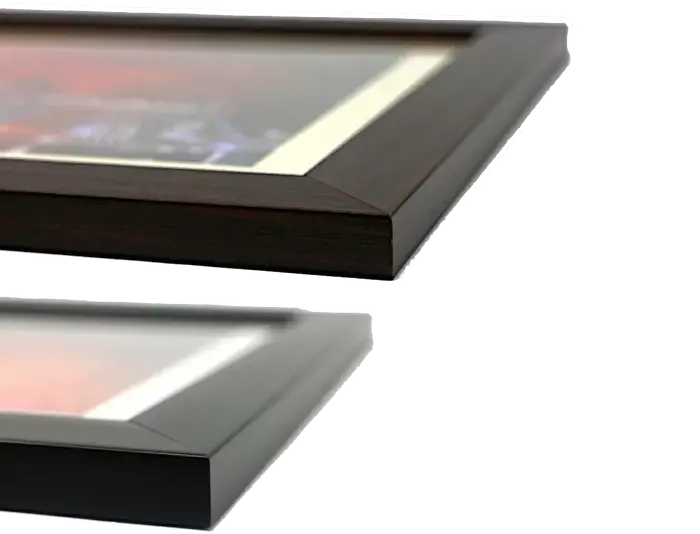
Ready to Hang Contemporary Framed Prints adds style, protection, and a polished touch to your space - effortlessly.

Your artwork will be printed as shown in the preview. To adjust please select Print Options under the Buy button

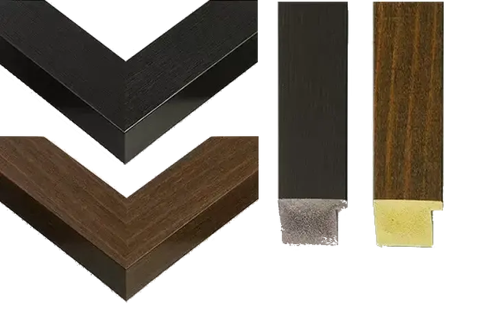
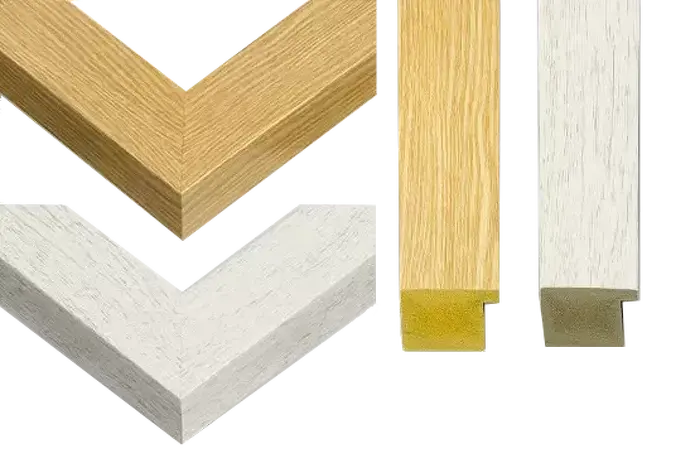
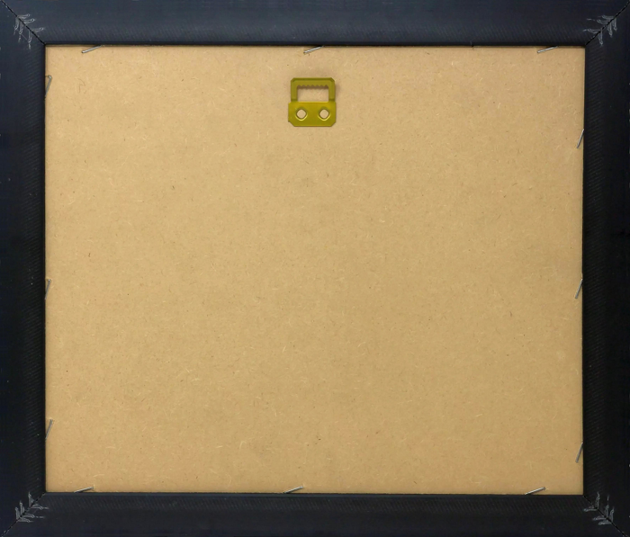
Wood effect frame, card mounted, 10x8 fade resistant photo print. Overall outside dimensions 14x12 inches (36x31cm). Environmentally and ozone friendly, 40mm wide x 15mm Polycore® moulding has the look of real wood, is durable and light and easy to hang. Biodegradable and made with non-chlorinated gases (no toxic fumes) it is efficient; producing 100 tons of polystyrene can save 300 tons of trees! Prints are glazed with lightweight, shatterproof, optical clarity acrylic (providing the same general protection from the environment as glass). The back is stapled hardboard with a sawtooth hanger attached. Note: measurements provided are estimated outer dimensions, which include both the image and the frame. While we aim to keep sizing consistent, exact dimensions may vary slightly due to differences in print size or production requirements, which may result in a variation in the overall size (up to approximately 2.5cm (1"))

These are individually made so all sizes are approximate

Estimated Image Size (if not cropped) is 15.3cm x 24.4cm (6" x 9.6")

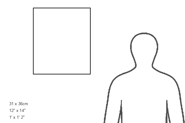
Estimated Product Size is 31cm x 36cm (12.2" x 14.2")

Features in These Collections

Home > Artists > John Rocque

Home > Artists > Peter Schenck
You May Also Like


Gallery Wall Inspiration


Plan of Richmond Gardens, 1736
An Exact Survey of the Citys of London, Westminster, ye Borough of Southwark, and the Country near Ten Miles round, 1746 (engraving)
Henry Fielding, published by Cochrane & Co, London, 1931 (engraving)
Burney 86, c.86v from the Townley Homer (vellum)
Fan, c.1740-60 (paper & ivory)
Duncan's Masonic Ritual and Monitor; or, guide to the three symbolic degrees of the ancient York Rite, etc. 1866 (engraving)
A PLAN OF THE CITY OF BRISTOL / Survey'd and Drawn by JOHN ROCQUE Engrav'd by JOHN PINE MDCCXLII, 1743 (engraving)
The Tread-mill. (A new song. Tom Jerry, and Logic in the Tread-Mill.). J. Catnach 1817
An 18th century map of london. An Exact Survey of the city's of London, Westminster ye Borough of Southwark and the country near ten miles around begun in 1741 & ended in 1745 / by John Rocque land surveyor & (engraved) by Richard Parr
Plan of Paris, 1575 (engraving)
A plan of the cities of London and Westminster, and borough of Southwark; with the contiguous buildings; From an actual survey, taken by JOHN ROCQUE, Land-Surveyor, and Engraved by John Pine, 1762 (engraving)
Plan of London, Index sheet 1, A plan of the cities of London and Westminster, and borough of Southwark; : with the contiguous buildings; From an actual survey, / taken by JOHN ROCQUE, Land-Surveyor, and Engraved by John Pine, John Rocque
Plan of London, Blue anchor road, Kent road, A plan of the cities of London and Westminster, and borough of Southwark; : with the contiguous buildings; From an actual survey, / taken by JOHN ROCQUE, Land-Surveyor, and Engraved by John Pine
Plan of London, Piccadilly, St. James's Park, Green Park, A plan of the cities of London and Westminster, and borough of Southwark; : with the contiguous buildings; From an actual survey, / taken by JOHN ROCQUE, Land-Surveyor
Plan of London, Moorfields, A plan of the cities of London and Westminster, and borough of Southwark; : with the contiguous buildings; From an actual survey, / taken by JOHN ROCQUE, Land-Surveyor, and Engraved by John Pine, John Rocque
Plan of London, Holborn, Smithfield, A plan of the cities of London and Westminster, and borough of Southwark; : with the contiguous buildings; From an actual survey, / taken by JOHN ROCQUE, Land-Surveyor, and Engraved by John Pine
Plan of London, High Holborn, Lambs conduit fields, A plan of the cities of London and Westminster, and borough of Southwark; : with the contiguous buildings; From an actual survey, / taken by JOHN ROCQUE, Land-Surveyor
Map of Sicily and Naples, 1680 (engraving)
A Topographical Map of the County of Middlesex, 1754 (engraving)
Queen Charlotte in La Belle Assemblee, Volume I, Part I, 1806 (print & engraving)
Plan of the Royal Palace and Gardens of Kensington, 1736 (etching)
The Jewel House (engraving)
Plan of Hampton Court Palace, 1736 (etching)
Map of Italy, from Geografia moderna di tutta la Italia... 1597 (vellum)
Map of the County of Middlesex by John Rocque (engraving)
Mogg's new London guide, 1849 : the coloured lines exhibit the omnibus routes
Plan of London, Upper wet dock, Rogue street, A plan of the cities of London and Westminster, and borough of Southwark; : with the contiguous buildings; From an actual survey, / taken by JOHN ROCQUE, Land-Surveyor, and Engraved by John Pine


© Copyright OneVisionArt - All Rights Reserved 2026
Orders fulfilled by Media Storehouse®
We accept all major payment options so you can pay for the things you need in the way that is most convenient for you